Aerial texture map of rural farmland - stock photo
Aerial texture map of rural farmland

Get this image in a variety of framing options at Photos.com.
PURCHASE A LICENSE
All Royalty-Free licenses include global use rights, comprehensive protection, simple pricing with volume discounts available
kr. 2.200,00
DKK
Getty ImagesAerial Texture Map Of Rural Farmland High-Res Stock Photo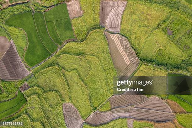 Download premium, authentic Aerial texture map of rural farmland stock photos from Getty Images. Explore similar high-resolution stock photos in our expansive visual catalogue.Product #:1677111361
Download premium, authentic Aerial texture map of rural farmland stock photos from Getty Images. Explore similar high-resolution stock photos in our expansive visual catalogue.Product #:1677111361kr.2.200kr.280
Getty Images
In stockDETAILS
Credit:
Creative #:
1677111361
License type:
Collection:
E+
Max file size:
5464 x 3640 px (18.21 x 12.13 in) - 300 dpi - 24 MB
Upload date:
Location:
China
Release info:
No release required
Categories:
- Topography,
- Relief Map,
- Agriculture,
- Road,
- Agricultural Field,
- Aerial View,
- Dirt,
- Environmental Conservation,
- Map,
- Rural Scene,
- Backgrounds,
- Directly Above,
- Landscape - Scenery,
- Organic Farm,
- Above,
- Abstract,
- Agricultural Activity,
- Beauty,
- Beauty In Nature,
- Botany,
- Cereal Plant,
- China - East Asia,
- Clean,
- Color Image,
- Copy Space,
- Country Road,
- Crop - Plant,
- Drone Point of View,
- Environment,
- Farm,
- Geometric Shape,
- Grass,
- Growth,
- Harvesting,
- High Angle View,
- Horizontal,
- Idyllic,
- Land,
- Leaf,
- Looking Over,
- Lush Foliage,
- Meadow,
- Modern,
- Nature,
- No People,
- Organic,
- Pasture,
- Patchwork Landscape,
- Photography,
- Plant,
- Plantation,
- Scenics - Nature,
- Season,
- Social Issues,
- Springtime,
- Summer,
- Sustainable Resources,
- Tranquil Scene,
- Tranquility,
- Tree,
- Village,