Map of Iowa - stock illustration
"Vector illustration of map of Iowa with major roads, rivers and lakes."

Get this image in a variety of framing options at Photos.com.
PURCHASE A LICENSE
All Royalty-Free licenses include global use rights, comprehensive protection, simple pricing with volume discounts available
kr. 2.200,00
DKK
Getty ImagesMap Of Iowa High-Res Vector Graphic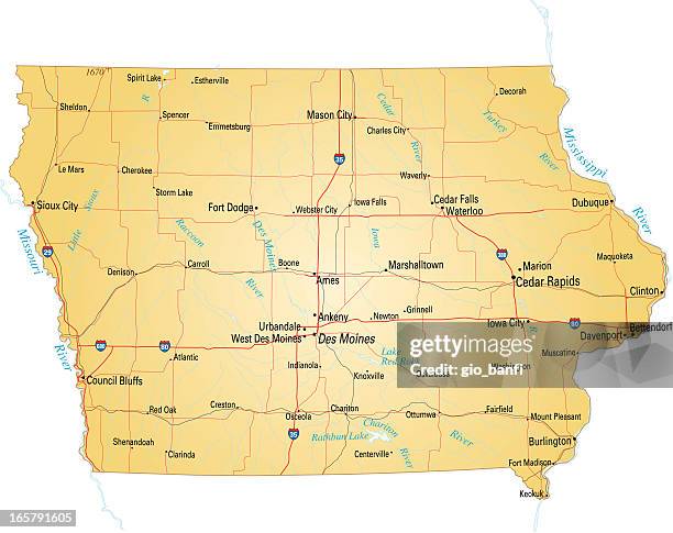 Download premium, authentic Map of Iowa stock illustrations from Getty Images. Explore similar high-resolution stock illustrations in our expansive visual catalogue.Product #:165791605
Download premium, authentic Map of Iowa stock illustrations from Getty Images. Explore similar high-resolution stock illustrations in our expansive visual catalogue.Product #:165791605kr.2.200kr.280
Getty Images
In stockDETAILS
Credit:
Creative #:
165791605
License type:
Collection:
DigitalVision Vectors
Max file size:
4580 x 3627 px (15.27 x 12.09 in) - 300 dpi - 3 MB
Upload date:
Release info:
No release required
Categories:
- Iowa Illustrations,
- Map Illustrations,
- Vector Illustrations,
- Madison County - Iowa Illustrations,
- Ames - Iowa Illustrations,
- Cartographer Illustrations,
- Cedar Rapids Illustrations,
- City Illustrations,
- Clarksville - Iowa Illustrations,
- Des Moines - Iowa Illustrations,
- Dubuque Illustrations,
- Illustration Illustrations,
- Interstate Illustrations,
- Mason City Illustrations,
- Multiple Lane Highway Illustrations,
- No People Illustrations,
- Road Illustrations,
- Road Map Illustrations,
- The Americas Illustrations,
- Transportation Illustrations,
- USA Illustrations,
- Urbandale Illustrations,