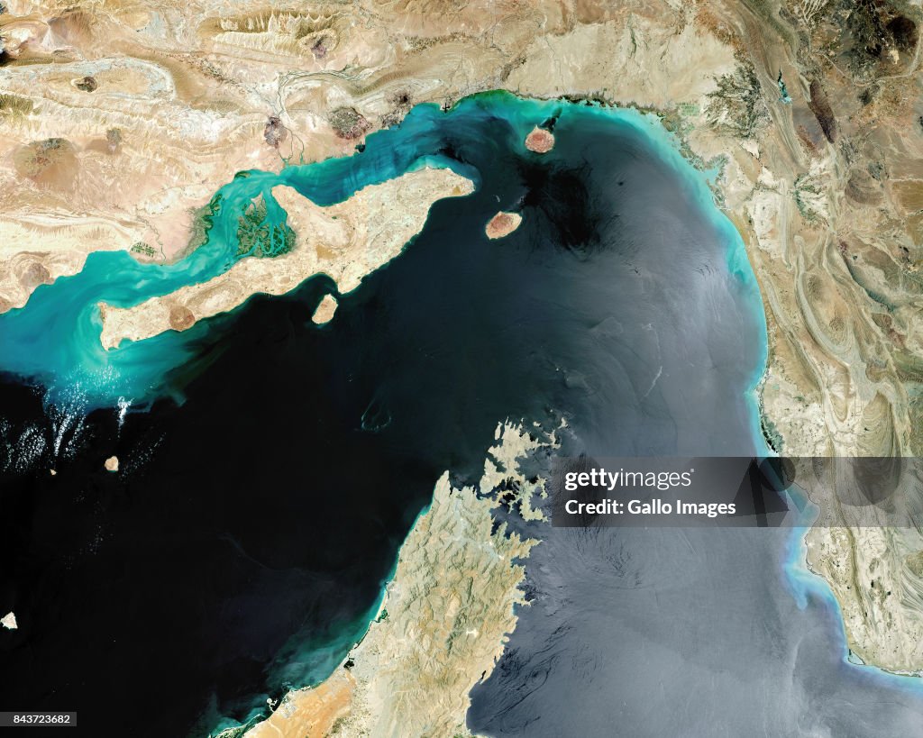
Satellite view of Strait of Hormuz
STRAIT OF HORMUZ - MAY 2017: Satellite image of the Strait of Hormuz, a strategic maritime choke point with Iran situated at the top with Qeshm Island and the United Arab Emirates to the South. Imaged 24 May 2017. (Photo by Gallo Images / Copernicus Sentinel 2017/ Orbital Horizon)

Get this image in a variety of framing options at Photos.com.
PURCHASE A LICENSE
How can I use this image?
kr. 3.000,00
DKK
DETAILS
Restrictions:
Contact your local office for all commercial or promotional uses.SOUTH AFRICA OUT
Credit:
Editorial #:
843723682
Collection:
Gallo Images
Date created:
May 24, 2017
Upload date:
License type:
Release info:
Not released. More information
Source:
Gallo Images Editorial
Object name:
ED_0121461
Max file size:
6244 x 4995 px (20.81 x 16.65 in) - 300 dpi - 42 MB
- Straits,
- Gulf Of Oman,
- Freight Transportation,
- Persian Gulf,
- Shipping,
- Arabian Sea,
- Astronomy,
- Business Finance and Industry,
- Choking,
- Finance and Economy,
- Geographical Locations,
- Industry,
- Iran,
- Middle East,
- Oil Industry,
- Oman,
- On Top Of,
- Persian Gulf Countries,
- Qeshm Island,
- Science and Technology,
- Space Mission,
- Space and Astronomy,
- Strait Of Hormuz,
- Strategy,
- United Arab Emirates,
- West Asia,