Quebec Montreal Area City Vector Road Map Blue - stock illustration
Quebec Montreal Area City Vector Road Map Blue. All source data is in the public domain. Statistics Canada. Used Layers: Road Network and Water.

Get this image in a variety of framing options at Photos.com.
PURCHASE A LICENSE
All Royalty-Free licenses include global use rights, comprehensive protection, simple pricing with volume discounts available
kr. 2.200,00
DKK
Getty ImagesQuebec Montreal Area City Vector Road Map Blue High-Res Vector Graphic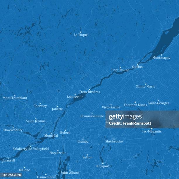 Download premium, authentic Quebec Montreal Area City Vector Road Map Blue stock illustrations from Getty Images. Explore similar high-resolution stock illustrations in our expansive visual catalogue.Product #:2017647020
Download premium, authentic Quebec Montreal Area City Vector Road Map Blue stock illustrations from Getty Images. Explore similar high-resolution stock illustrations in our expansive visual catalogue.Product #:2017647020kr.2.200kr.280
Getty Images
In stockDETAILS
Credit:
Creative #:
2017647020
License type:
Collection:
DigitalVision Vectors
Max file size:
4924 x 4924 px (16.41 x 16.41 in) - 300 dpi - 92 MB
Upload date:
Location:
Canada
Release info:
No release required
Categories:
- Map,
- Quebec,
- Quebec City,
- Vector,
- Montréal,
- Road Map,
- Canada,
- Trois-Rivières,
- Sherbrooke - Quebec,
- Cornwall - Ontario,
- River,
- Lake,
- Sutton - Quebec,
- Victoriaville,
- Asbestos,
- Blue,
- Cartography,
- City,
- City Map,
- Color Image,
- Computer Graphic,
- Design,
- Digital Composite,
- Digitally Generated Image,
- District,
- Drummondville,
- Granby - Quebec,
- Illustration,
- No People,
- Physical Geography,
- Square - Composition,
- St. Lawrence River,
- Street,
- Text,
- Water,